 [clear]
The Snow Cat to the Rescue – Revisiting “The Shining” – Google Maps Redux Art
 [clear]
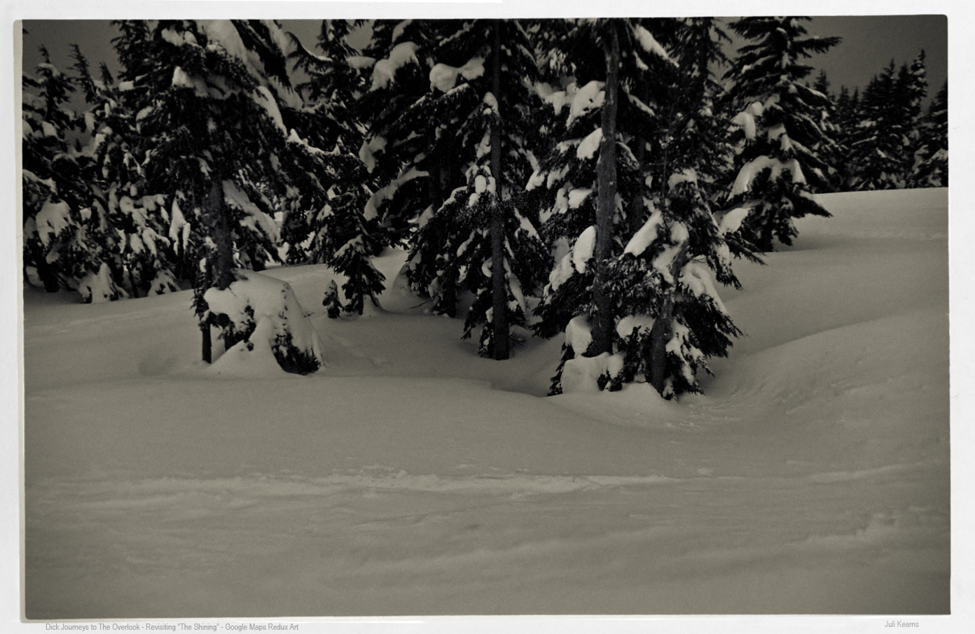
Snow Covered Trees – Revisiting “The Shining” – Google Maps Redux Art
 [clear]
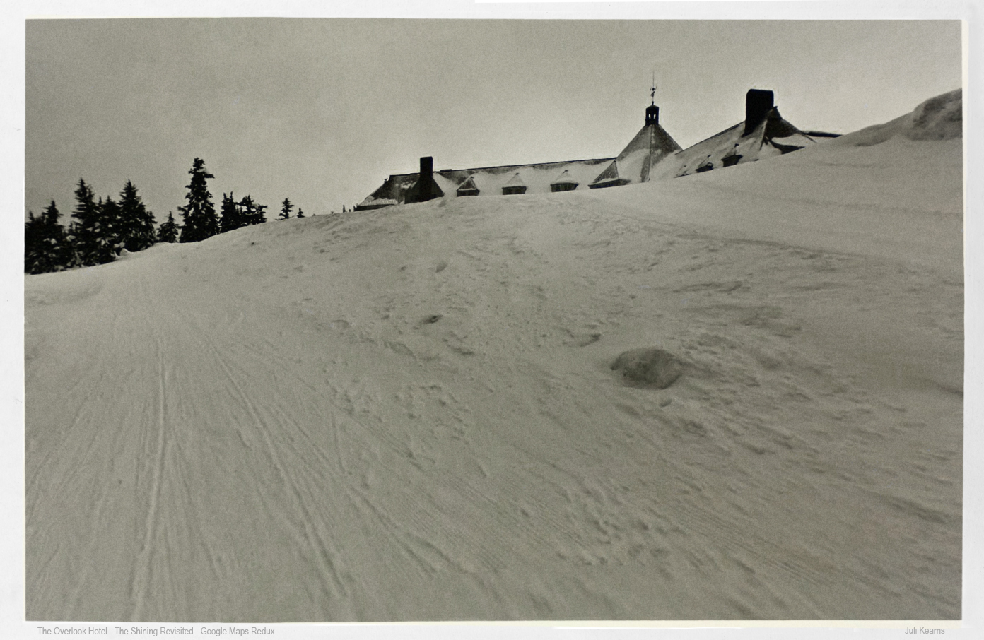
The Overlook/Timberline from the Road – Revisiting “The Shining” – Google Maps Redux Art
In the 4 P.M. section of The Shining, Dick travels in the Snow Cat to the lodge. One shot has him on a fairly flat stretch hemmed with trees. I looked around for something corresponding to this and I don’t know if I might have lucked upon that exact stretch on the west leg of the Timberline Highway, which in the winter joins with the ski trails as part of that veritable maze before the Timberline, then links up with the Timberline Highway to enter from the east. I’d thought possibly that this scene was filmed at the studio as it was so eerily pristine, but seeing the Google Maps images, and knowing they had filming crew up here, it could have been a real location shot.
Wonderfully, Google Maps also provides an image that is very close to what Dick sees of the lodge as he approaches it from the road.
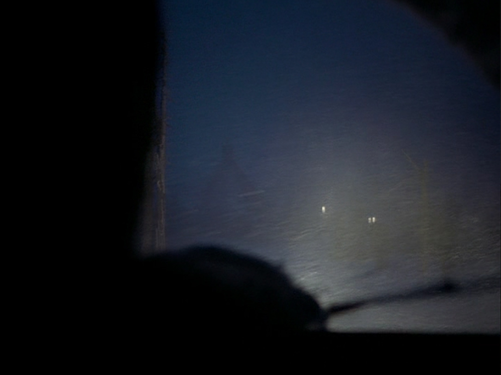
Below, the Snow Cat making its way through the snow to the lodge.
 [clear]
Below, the film view of the lodge from Dick’s Snow Cat.
 [clear]
Maps of the above.
Leave a Reply