IdyllopusPress (old blog)
-

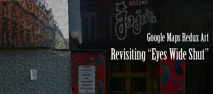
Revisiting “Eyes Wide Shut” – San Remo – Google Maps Redux Art
[clear] San Remo – Revisiting “Eyes Wide Shut” – Google Maps Redux Bill and Alice live at the San Remo building at 145/146 Central Park West, though the exterior of the building doesn’t fit at all with the layout of the apartment but who cares. We’re twice given this anchor, between the scenes of Alice…
-

A Couple of Supplemental Pretty Shots of the Timberline Area
[clear] To the Timberline – Revisiting “The Shining” – Google Maps Redux Art [clear] To the Timberline 2- Revisiting “The Shining” – Google Maps Redux Art
-

Dick Travels up the Mountain – Revisiting “The Shining” – Google Maps Redux Art
[clear] The Snow Cat to the Rescue – Revisiting “The Shining” – Google Maps Redux Art [clear] Snow Covered Trees – Revisiting “The Shining” – Google Maps Redux Art [clear] The Overlook/Timberline from the Road – Revisiting “The Shining” – Google Maps Redux Art In the 4 P.M. section of The Shining, Dick travels in…
-

The Timberline/Overlook Blanketed in Snow – Revisiting “The Shining” – Google Maps Redux Art
[clear] Best Way to the Lodge – Revisiting “The Shining” – Google Maps Redux Art In the 8 A.M. section of “The Shining” we get a brief look of a view of the studio lodge from the far west entrance, which was unobserved on Closing Day. Though the studio set is different from the real…
-

Dick in Denver – Revisiting “The Shining” – Google Maps Redux Art
[clear] The Airport – Revisiting “The Shining” – Google Maps Redux Art [clear] Boulder and Westminster Exit from the North – Revisiting “The Shining” – Google Maps Redux Art [clear] Boulder and Westminster Exit from the South – Revisiting “The Shining” – Google Maps Redux Art In the 8 a.m. section of The Shining, Dick…
-

Miami – Revisiting “The Shining” – Google Maps Redux Art
[clear] Miami, Channel 10 – Revisiting “The Shining” – Google Maps Redux Art In the Wednesday section of The Shining, Dick “shines” the ongoing terror at the hotel while watching a Channel 10 newscast which shows few scenes from Miami, including the WPLG tower. It seems right to include it in the “Revisiting the Shining”…
-

View Down the Overlook/Timerline Mountain – Revisiting “The Shining” – Google Maps Redux Art
[clear] Viewing down the Mountain, Revisiting “The Shining”, Google Maps Redux Art [clear] Viewing down the Mountain 2, Revisiting “The Shining”, Google Maps Redux Art Kubrick opens many of the sections with a shot looking up the mountain from below, such as here on Tuesday and here on Saturday. On the supposed intervening Thursday, when…
-

White Homes, Durango, Mexico
White Homes, Durango, Mexico – Google Maps Redux View larger
-

Durango, Mexico – Google Maps Redux (2 images)
Black Water Tanks, Durango, Mexico – Google Maps Redux View larger Tweety Bird, Durango, Mexico – Google Maps Redux View larger
-

Bright Angel Trail, Grand Canyon – Google Maps Redux
Bright Angel Trail, Grand Canyon – Google Maps Redux View larger
-

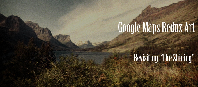
Closing Day Mountain Ascent – Revisiting “The Shining” – Google Maps Redux Art
[clear] The Torrance Family Travels Up The Mountain on Closing Day – Revisiting “The Shining” – Google Maps Redux Art The above image is at the point when Kubrick crossfades from the Torrances driving to the vista of The Overlook. [clear] The Weeping Wall – Revisiting “The Shining” – Google Maps Redux Art The Torrances…
-

Behind the Boulder Apartment Building (Revisiting the Shining) – Google Maps Redux Art
[clear] [clear] Thank you to Tom Rouse who left the coordinates for the Boulder apartment complex of the Torrances (the facade) in a comment on an article at the Examiner. He misnamed the apartment complex as the Kimberly when instead it is the Kensington. The Kimberly apartments are in roughly the same area, about two…