495 Exit – Revisiting “Eyes Wide Shut” – Google Maps Redux
In Eyes Wide Shut, Bill gets his costume then sets out for the address given him by the pianist. We view the exit for 495.
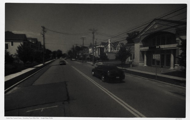
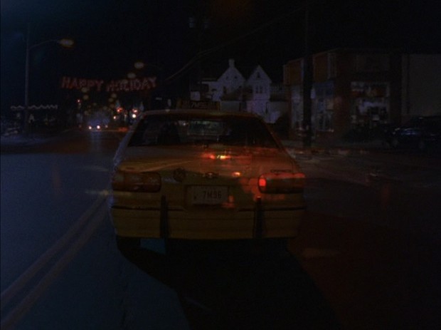
The next shot is in Oyster Bay. This was a tough one to find. We have just the briefest glimpse of a 106 Route sign. Then an illegible sign for a store that reads Wagner, and beyond that a sign for a Getty gas station which for all intents and purposes can’t be seen. But in the distance is a brightly lit side of a building with two gables. My thoughts? The only place on a road like this that will be that large and have two gables is likely to be a funeral home. And that’s how I located the Oyster Bay funeral home, which is the one seen in the film. The Wagner store and the Getty gas station have since been trashed and replaced.
Oyster Bay – Revisiting “Eyes Wide Shut” – Google Maps Redux
Google map for the Oyster Bay funeral home.


Leave a Reply